Trends.Earth
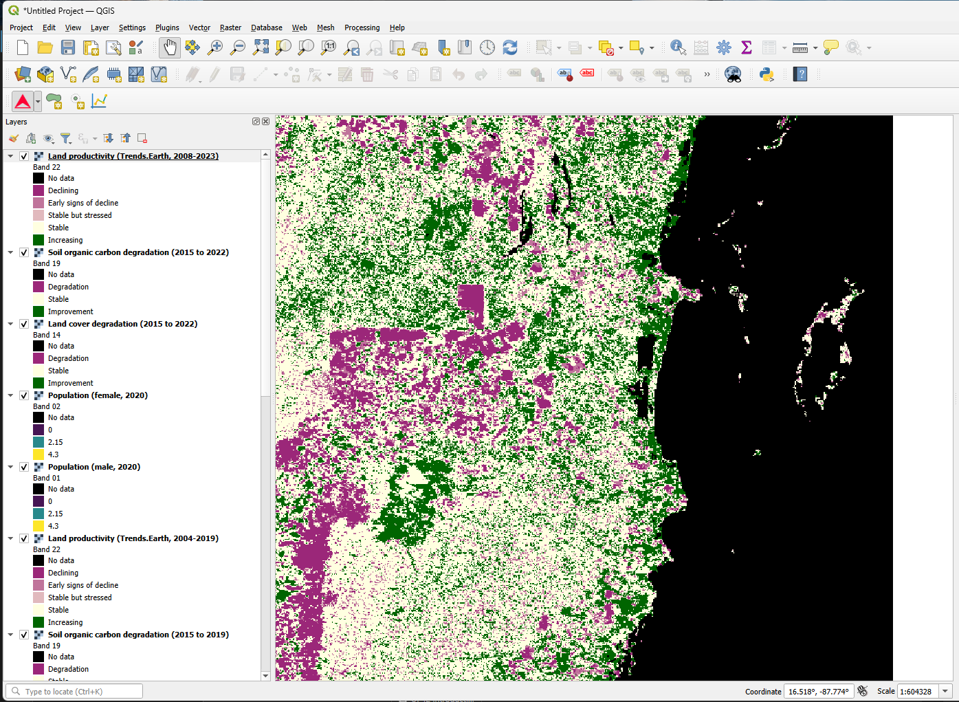
Trends.Earth is an online platform that monitors “land degradation”. Using Earth observation satellite imagery and global data, Trends.Earth can identify degraded areas and help decision-makers improve them. It uses cloud computing to process massive satellite images into usable information, assessing land trends through three indicators: land productivity, land cover and soil carbon. Documentation: https://docs.trends.earth/
My Role #
Core contributor to the Trends.Earth QGIS plugin, collaborating with the wider team on its development.
Tech Stack #
- Language: Python
- Platform: QGIS plugin